U.S. Aviation Industry Investigation
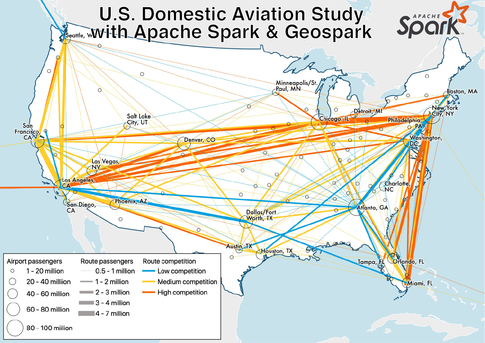
Geospatial analysis of U.S. domestic aviation market using Apache Spark and Geospark package. This study uses Apache Spark and flight summary data from the U.S. Department of Transportation to investigate market conditions in the U.S. domestic passenger aviation industry. Database design and implementation steps are discussed and detailed for Apache Spark with the Geospark package, using Scala and the data frames API. The database includes geospatial geometry fields and results are shown on maps created with QGIS. Full paper with additional info, maps and full code available here.
